Tectonics and landscape evolution
Research projects
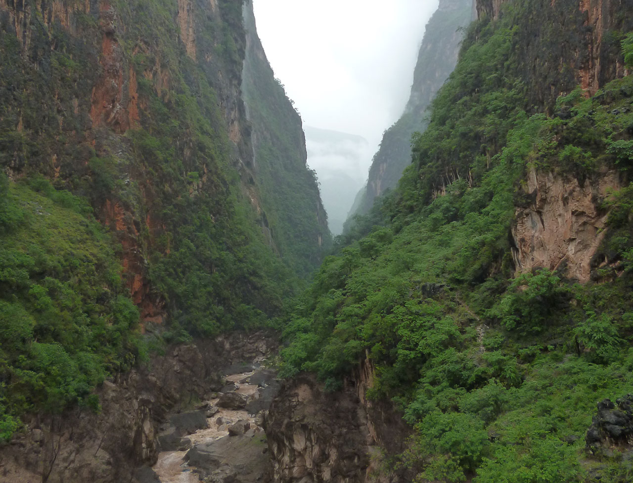
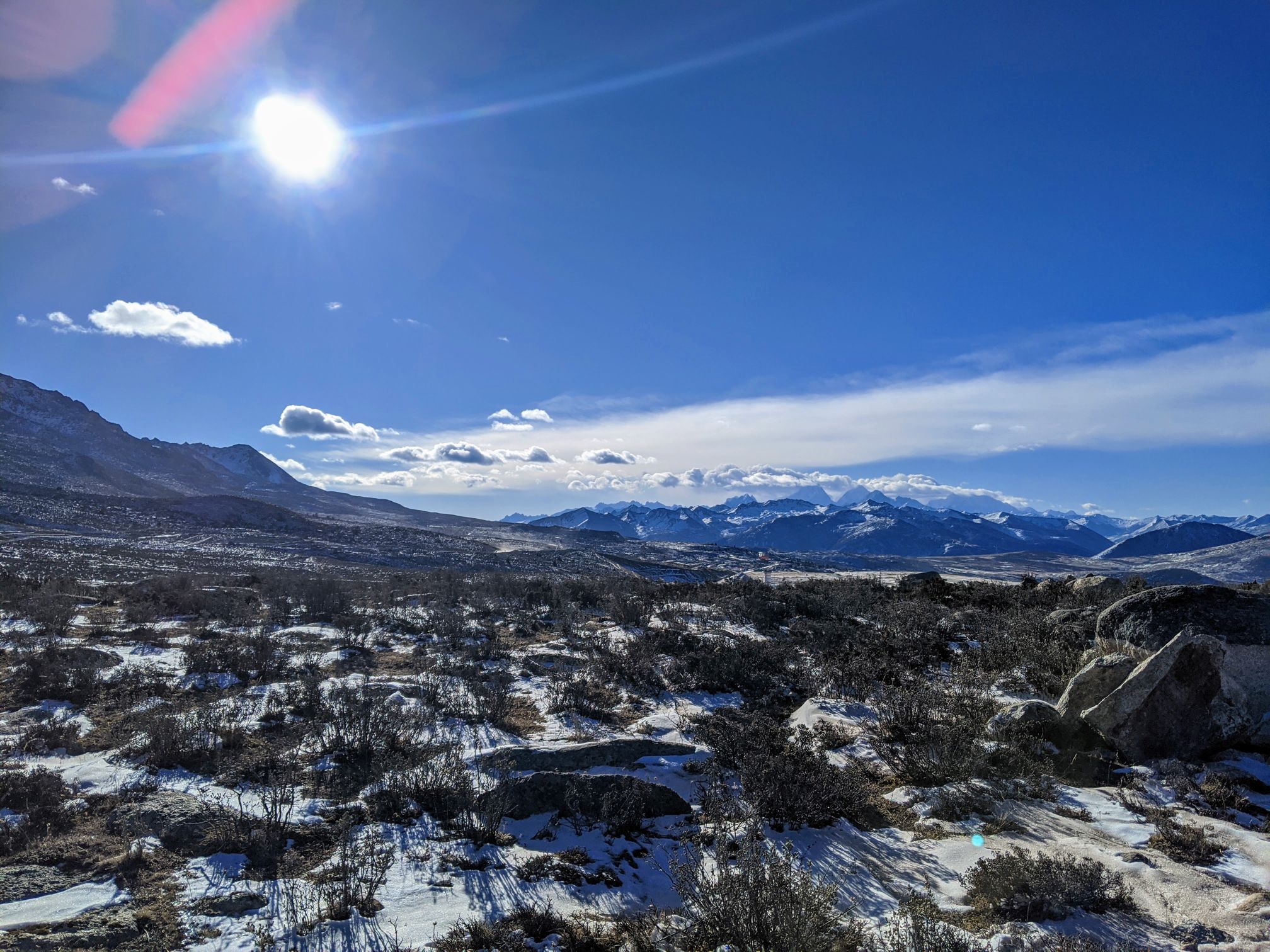
The objective of this project is to identify physical process connections between tectonics, climate, and biodiversity in the Hengduan Mountains, southwest China. This is a trans-disciplinary, international collaboration that brings together seven professors from three departments in the ETH Domain (incl. ETH Zürich, WSL, and Eawag) as well as seven professors from four institutes across China: Nanjing University, Peking University, Zhejiang University, and the Kunming Institutes of Botany and Zoology of the Chinese Academy of Sciences.
Prof. Sean Willett’s lab is responsible for numerical surface process modeling as well as characterizing the geology, geomorphology, and tectonic history of the Hengduan Mountains.
Dr. Xilin Sun is a postdoc withhin BECCY.
Dr. Yanyan Wang is a postdoc within BECCY project. Her primary research interests are mechanisms of landscape evolution and drainage reorganisations with active strike-slip faults.
Katrina Gelwick is a doctoral student within BECCY. She is working on regional geomorphic analyses across the Hengduan Mountains to determine how surface processes and tectonics have sculpted the landscape over time. She is also conducting a localized geomorphic analysis of the Anning-Dadu River capture area that will be used in combination with detailed biological data to evaluate hypothesized links between geologic processes and biodiversity.
Over the last 20 years the field of tectonic geomorphology has focussed on bedrock river networks. There are two major reasons for this focus. It is generally accepted that bedrock river networks are the rate-setting process defining how steep, rapidly uplifting mountainous regions evolve through time and mediating the interaction of climate and tectonic forces. The second reason is because these networks are thought to be the large scale morphological feature most sensitive to tectonic uplift rates. This is especially true at high uplift rates, when other aspects of the landscape, such as mean hillslope angle, have already reached a maximum value and no longer yield relevant tectonic information. The idea that the slope of bedrock river networks, and by extension, topography of active orogens is a reflection of the intensity of tectonic uplift rates is a fundamental tenet of the field of tectonic geomorphology.
However, there is building evidence that bedrock river networks reach a maximum channel slope at erosion rates that are common in actively uplifting orogens, effectively decoupling topography and tectonic activity. This would have significant implications for our understanding of how orogens evolve and how climate influences this evolution. A large dataset of bedrock river channels paired with new theoretical work suggest that the size of the cobbles and boulders in a channel, herein referred to as clasts or grains, is a key component in understanding this recently identified decoupling of topography and tectonics. However, the data is only suggestive, and a better understanding of what controls boulder size in bedrock river channels and how this is related to background erosion rates is needed.
We propose to collect a detailed and extensive dataset of channel hydraulic variables (e.g.\ channel width, slope and channel clast size) in southern Taiwan. Taiwan is a well-studied, active orogen with an established erosion rate gradient, where the river network is observed to become insensitive to tectonic activity at high uplift rates. Our working group at ETH has extensive field experience in Taiwan as well as established scientific contacts and collaborators. Digital mapping will be used to measure first order channel geometry across the entire region. More detailed measurements of channel hydraulic geometry, such as cobbles and boulder size, will be measured using structure from motion photogammetry, a new and promising technique to make rapid, high resolution observations over large sections of channel. Additional measurements will be done using tradition methods such as pebble counts to ground truth the structure from motion results. Field sites will be chosen using existing basin averaged erosion rate data, digital mapping results, and by drawing on past experience in the region. The expected outcomes are a series of publications detailing the novel observations collected in Taiwan, an improved understanding of the role of boulder size on bedrock river dynamics, and a new model for bedrock river erosion valid over landscape evolution timescales.
Contact
Escarpments at rifting margins are geomorphically active mountains in tectonically quiescent settings. They often coincide with continental water divide. Retreating of an escarpment since rifting has been a debate for decades from thermochronology and numerical model studies.
Our current work is focussed on:
(1) models to interpret detrital cosmogenic nuclide 10Be concentration into horizontal escarpment retreat rate.
(2) explore divide migration mechanisms with stream power incision models.
(3) geomorphic features and 10Be data from paired escarpments in Madagascar and Western Ghats in India as well as other global escarpments will be interpreted to study escarpment evolution in long-term timescales.

Geodynamic processes associated with timing of river incision and river network reorganization on the Tibetan plateau margins remain controversial. In particular, hydrographic network modifications in SE Tibet have been interpreted as related with regional-scale uplift or fault motion. The paleocourse of the Yangtze River and the timing of the establishment of its modern course are highly debated, leading to conflicting models of the plateau evolution.
To address this problem, I combine diverse methods to assess the relief and palaeoenvironment evolution of SE Tibet, at the Cenozoic timescale. I use topography analysis, field investigation, (U-Th)/He and 4He/3He thermochronometry (to quantify exhumation) and paleoenvironmental information derived from the detrital record.
