Swiss AlpArray initiative
The Alps are one the best studied geological orogens in the world. However, fundamental questions remain unanswered. We approach the orogenic system in the context of the whole Alps-Apennines-Carpathians-Dinarides orogenic system.
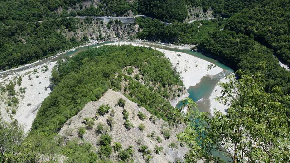
The AlpArray initiative implements new approaches and improved technology to increase our general understanding of large scale tectonic structures and surface processes. To obtain high resolution tomography and physical properties of deep structures, a European network of seismic stations was installed around the greater Alpine area. Lithospheric structures and surface topography are linked by isostasy and exhumation; thus both control the evolution of the orogenic system. Rivers and tectonics influence each other to shape the landscape. Additionally rivers connect the orogen with its surrounding basins and adjacent orogenic systems. River profiles can provide us an estimate of paleo-altimetry and reveal transient features in the landscape. River catchments have caused major changes in paleo topography that cannot be fully explained by tectonics, climate, or glaciation. We analyze drainage networks using field observations and models, and use cosmogenic nuclides to obtain spatial erosion rates and ages of geomorphic markers.
Contact
Geologisches Institut
Sonneggstrasse 5
8092
Zürich
Switzerland